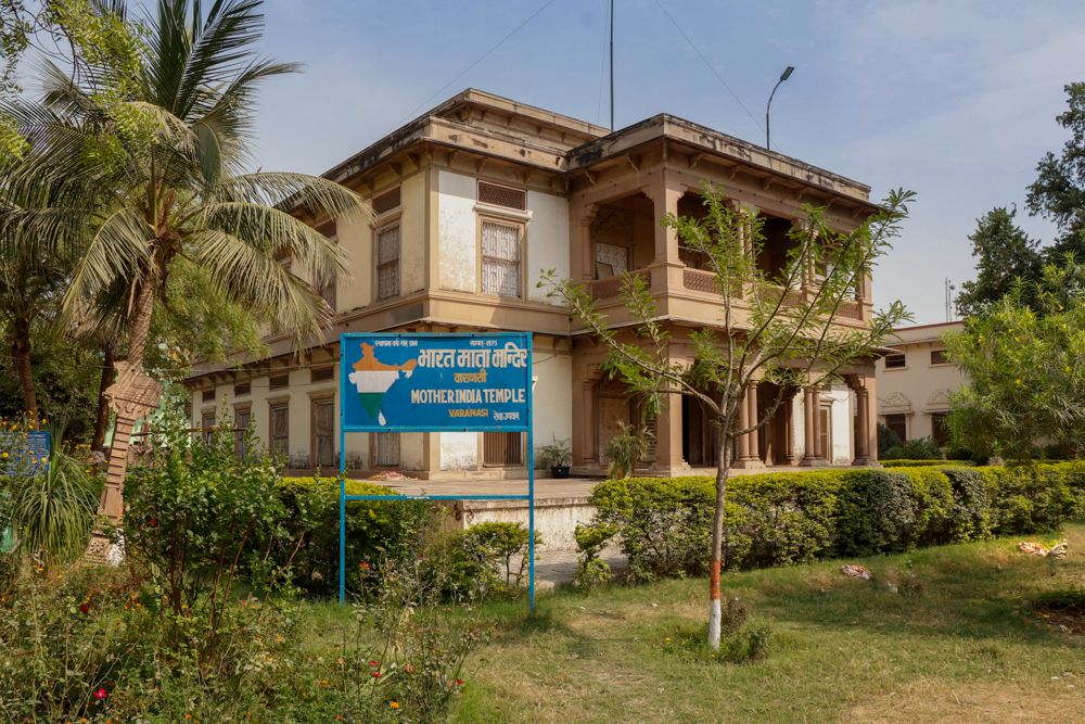
Bharat Mata Mandir
Bharat Mata Mandir is also known as Mother India Temple is situated on the Vidyapith(University) campus in Varanasi. It has a very big relief map of India carved out of marble bought from Makrana(Rajasthan).
The temple was inaugurated by Mahatma Gandhi. The map is in scale both longitude as well as latitude wise. The construction of the temple is unique in itself.
The interesting feature of the map is the detailed layout of mountain ranges and peaks, plains, water bodies, rivers, oceans and plateau.
Construction
Bharat Mata Mandir was constructed by Babu Shiv Prasad Gupta in 1918 and was inaugurated by Mahatma Gandhi on October 25, 1936. In the centre (floor) of the building, there is a map of undivided India showing Afghanistan, Pakistan, Bangladesh, Myanmar and Sri Lanka.
One can also see the Mount Everest and K2 peaks, the Great Wall of China and small islands. Republic Day and the Independence Day, the water bodies depicted in the map are filled with water and the land areas are decorated with flowers.
It was constructed by 30 workers and 25 masons under the guidance of Durga Prasad. These workers and masons names are mentioned on the plaque in one corner of the building. One inch of the distance in the map covers 6.40 miles on land. The different heights of the various peaks are clearly visible From a window installed at the ground level in the basement.